- This event has passed.
Geospatial Analytics Dissertation Defense: Megan Coffer
March 9, 2021 | 1:00 pm - 2:00 pm
Dissertation Title: Eyes in the sky lend support for water quality monitoring across inland and coastal environments
Advisor: Dr. Helena Mitasova, Associate Director of Geovisualization, Center for Geospatial Analytics; Professor, Department of Marine, Earth and Atmospheric Sciences
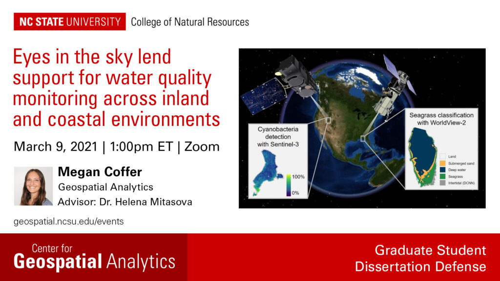
Abstract: Satellite remote sensing can complement field observations by offering improved spatial and temporal resolutions, collecting imagery more frequently and over larger areas. Here, imagery from several satellites is used to monitor water quality in the United States through both cyanobacterial occurrence and seagrass extent. Cyanobacterial blooms act as a direct measure of water quality while seagrass coverage is often highly responsive to the conditions of its environment. Imagery from a publicly available satellite sensor was used to assess the occurrence of cyanobacterial blooms at over 2,000 inland lakes across the United States. A subset of this dataset was also used to assess the temporal frequency of cyanobacterial blooms at nearly 700 drinking water intakes. Additionally, satellite imagery from two commercial satellite platforms was used to create an automated workflow to map seagrass extent; this automated workflow was demonstrated at an estuary in Florida.
