Uncovering glacial history and hazards in Nepal
MEAS researchers spent weeks documenting landforms on a backpacking trip through Nepal to better understand the deposits and dangers left behind by melting glaciers.
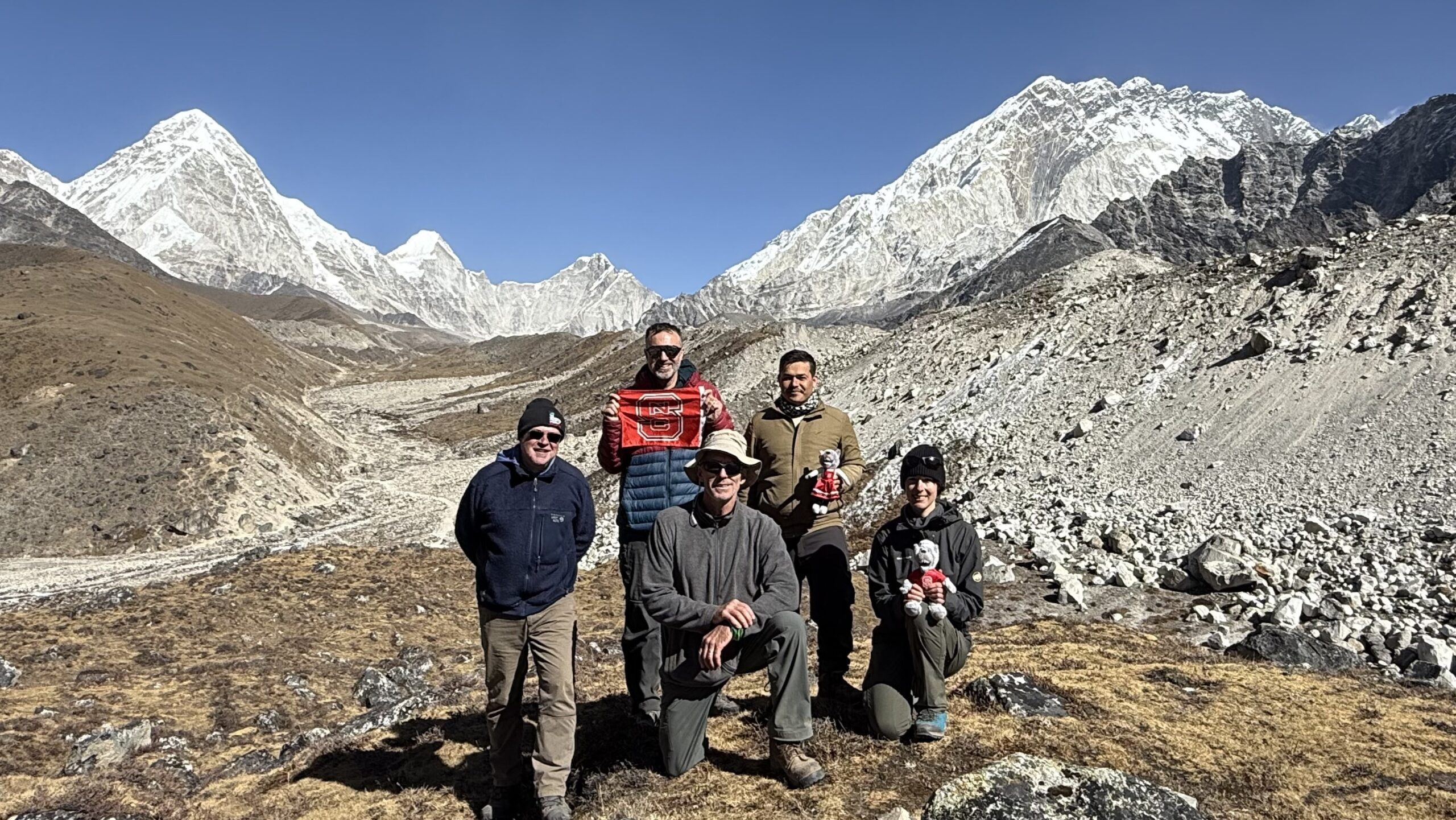
Lucia Manatschal described the moment she stood on the world’s tallest glacier with one word: remarkable.
The second-year doctoral student in NC State’s Department of Marine, Earth and Atmospheric Sciences (MEAS) and her small team of researchers had hiked eight days before reaching the Khumbu Glacier in Nepal. As the group stood on the glacier’s gravelly surface, they had officially reached an elevation of more than 16,000 feet — a stark difference from North Carolina, where the state’s tallest mountain, Mount Mitchell, reaches less than 7,000 feet in elevation.
“Knowing that we were standing on this glacier that has its source up in the Mount Everest region, it’s just a great feeling,” Manatschal said.
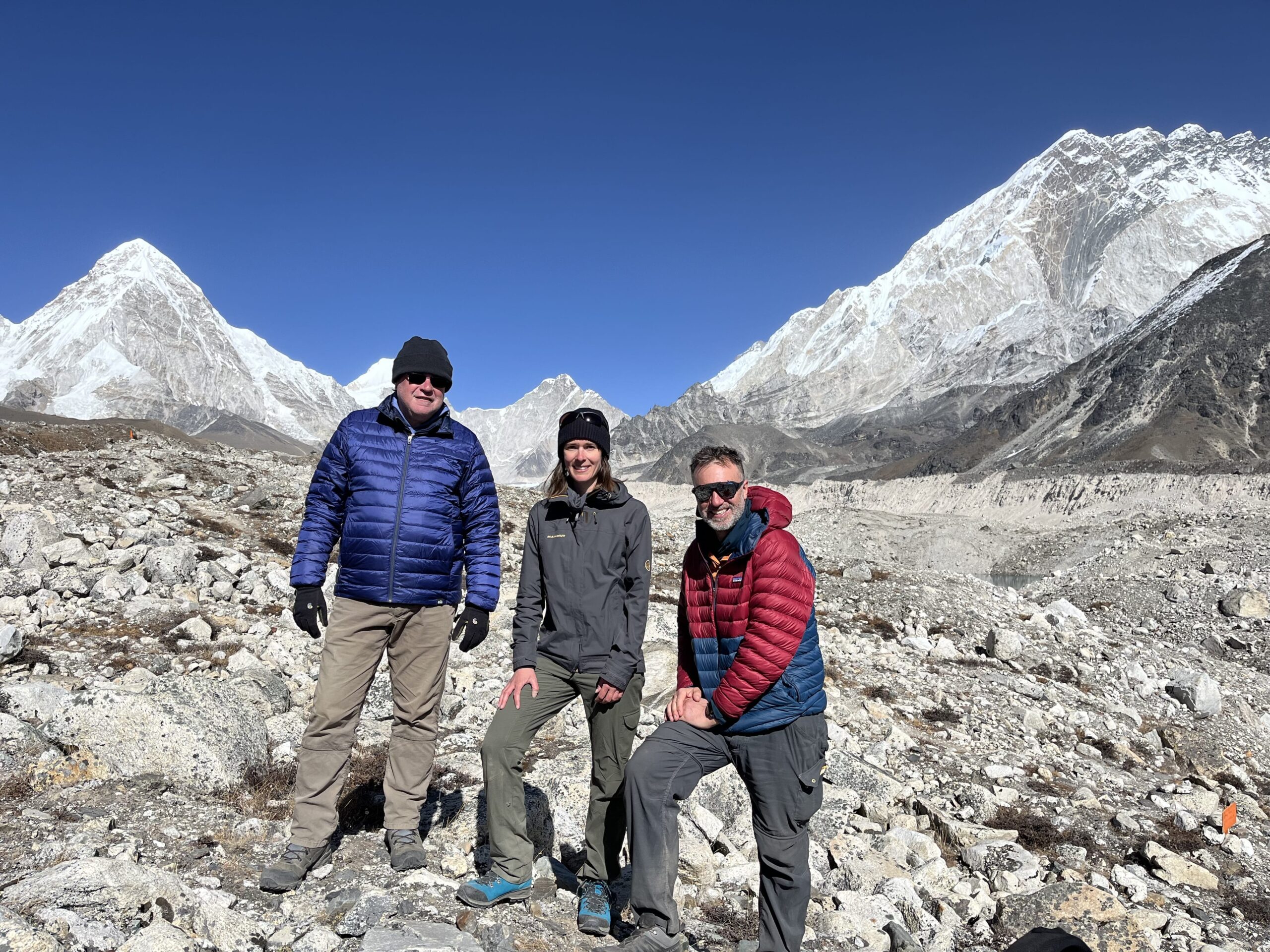
Manatschal was in Nepal last November for nearly four weeks, conducting fieldwork alongside geology professor Karl Wegmann, Dean of the College of Sciences, Lewis Owen, and research collaborators Basant Bhandari and Jim Benton. The team’s days were largely spent hiking and documenting the region’s landforms as part of Manatschal’s research into the deposits and dangers left behind by melting glaciers, which had carved out the Himalayan region thousands of years ago.
“The history of the last 20,000 years is recorded in the landscape,” Manatschal said.
Trip Beginnings
Plans for such a trip had been in place for about a year. During that time, Manatschal took up running, completing daily 5k runs come November to help alleviate both the impending altitude change and her nerves.
Those nerves vanished, however, once Manatschal arrived in Kathmandu, Nepal, in November after nearly 20 hours of traveling. She had more traveling to go before she would reach her ultimate destination of Sagarmatha National Park, but it was in Kathmandu where Manatschal met local guide Tej Bikram Shahi and assistant professor Basant Bhandari from Tribhuvan University.
“I was welcomed by all the people I didn’t know before,” Manatschal said. “I realized we are going to be in good hands.”
Manatschal prepared the group’s drone registration and final research permits before Dean Owen, professor Wegmann and field safety officer Jim Benton arrived in the following days. With the group finally all united, it was time for the final round of travel, consisting of an eight-hour drive to Ramechhap, followed by a tight squeeze onto a plane.
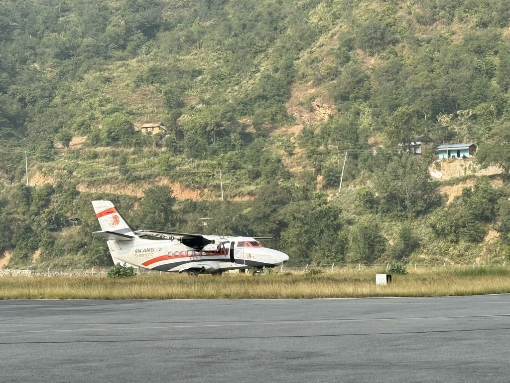
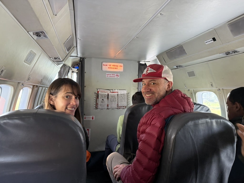
“The day after the long drive, we took this little plane from Ramechhap to Lukla, which is about a 20-minute flight, but the most impressive flight I’ve ever experienced,” Manatschal said. “The famous airport in Lukla is also the entering point to Mount Everest, so every expedition to Mount Everest starts at that airport.”
While Manatschal would not be scaling Mount Everest itself, the two weeks of backpacking she had ahead of her through the mountains and valleys of Sagarmatha National Park would be its own feat.
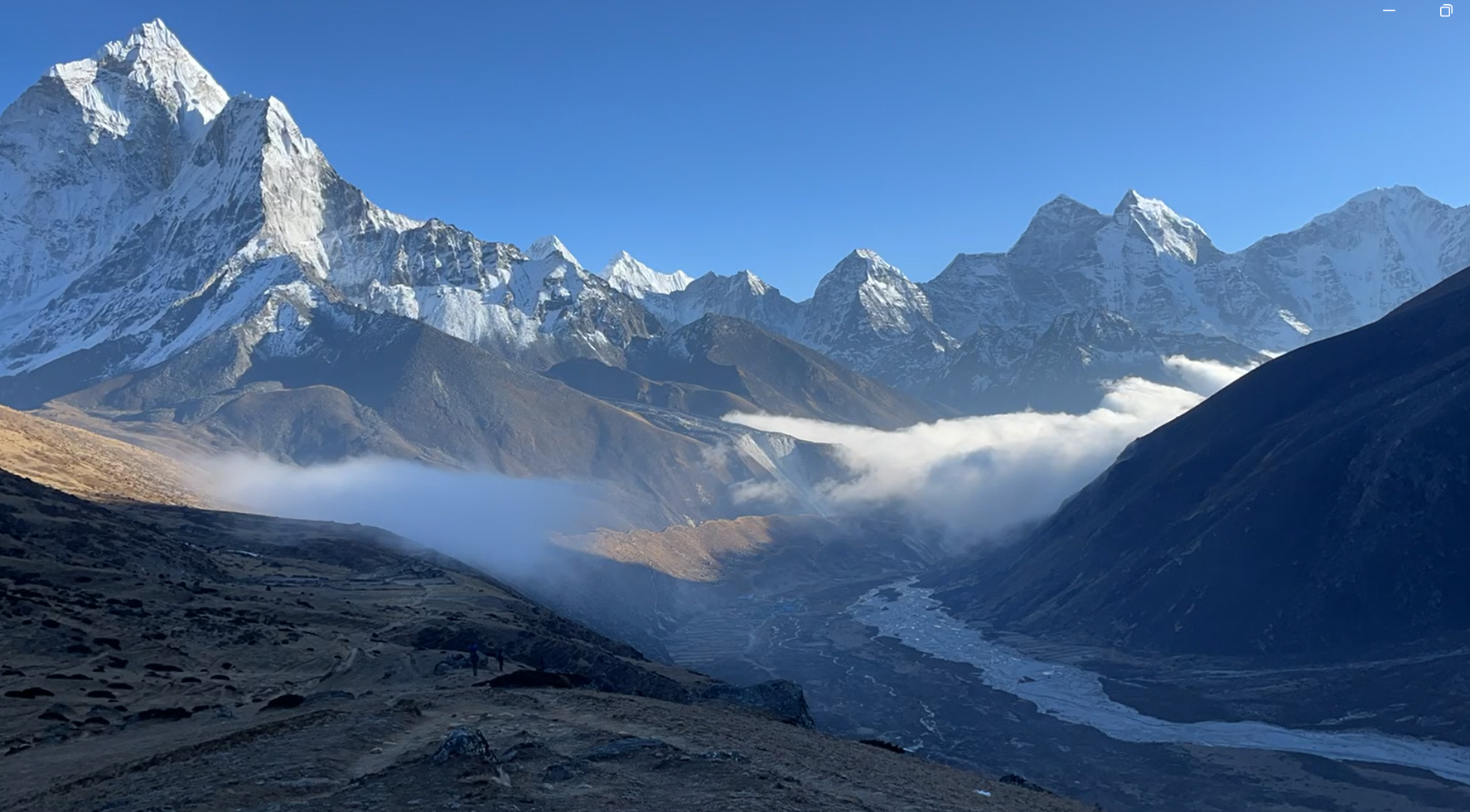
Journeying across the “roof of the world”
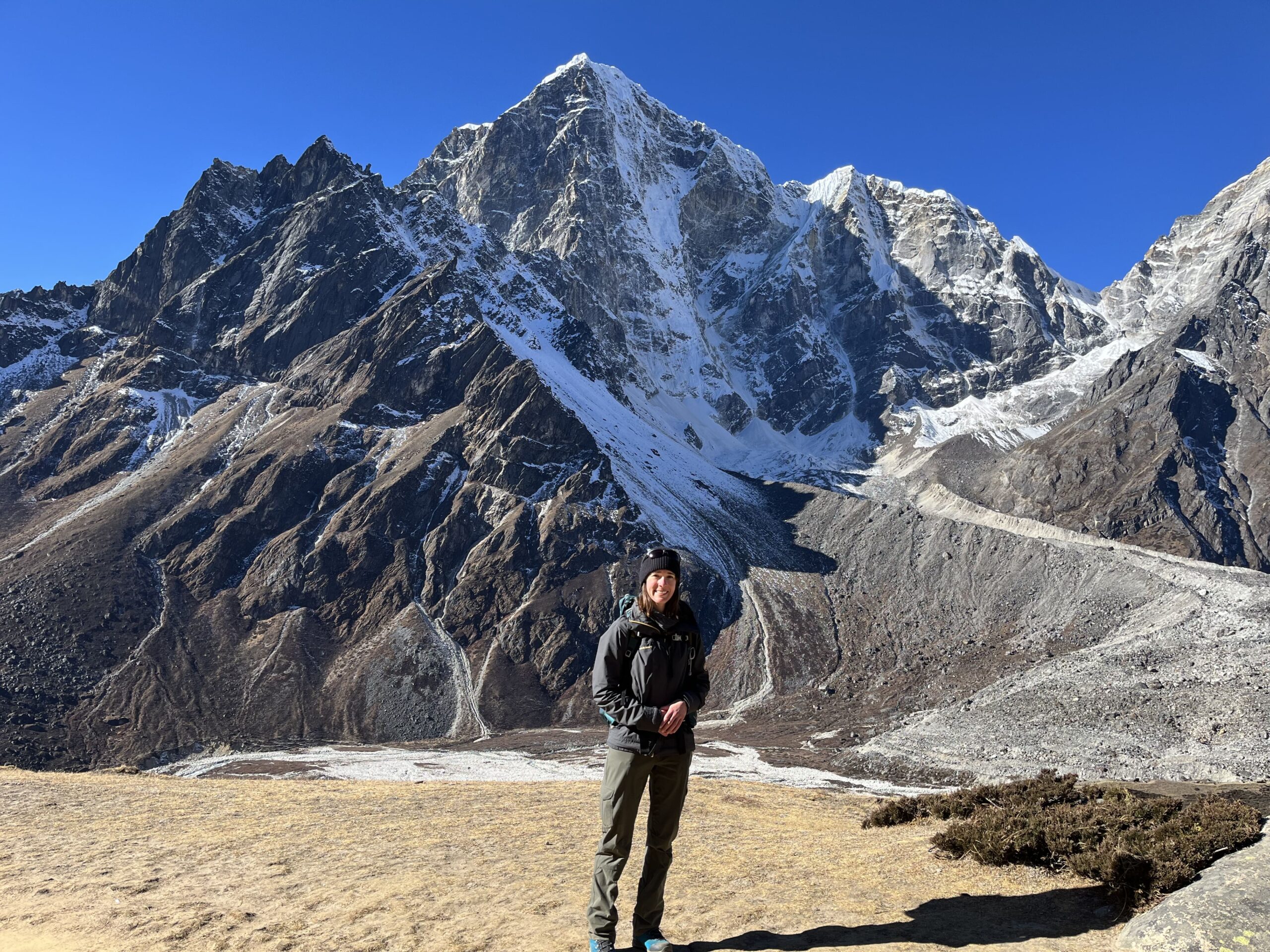
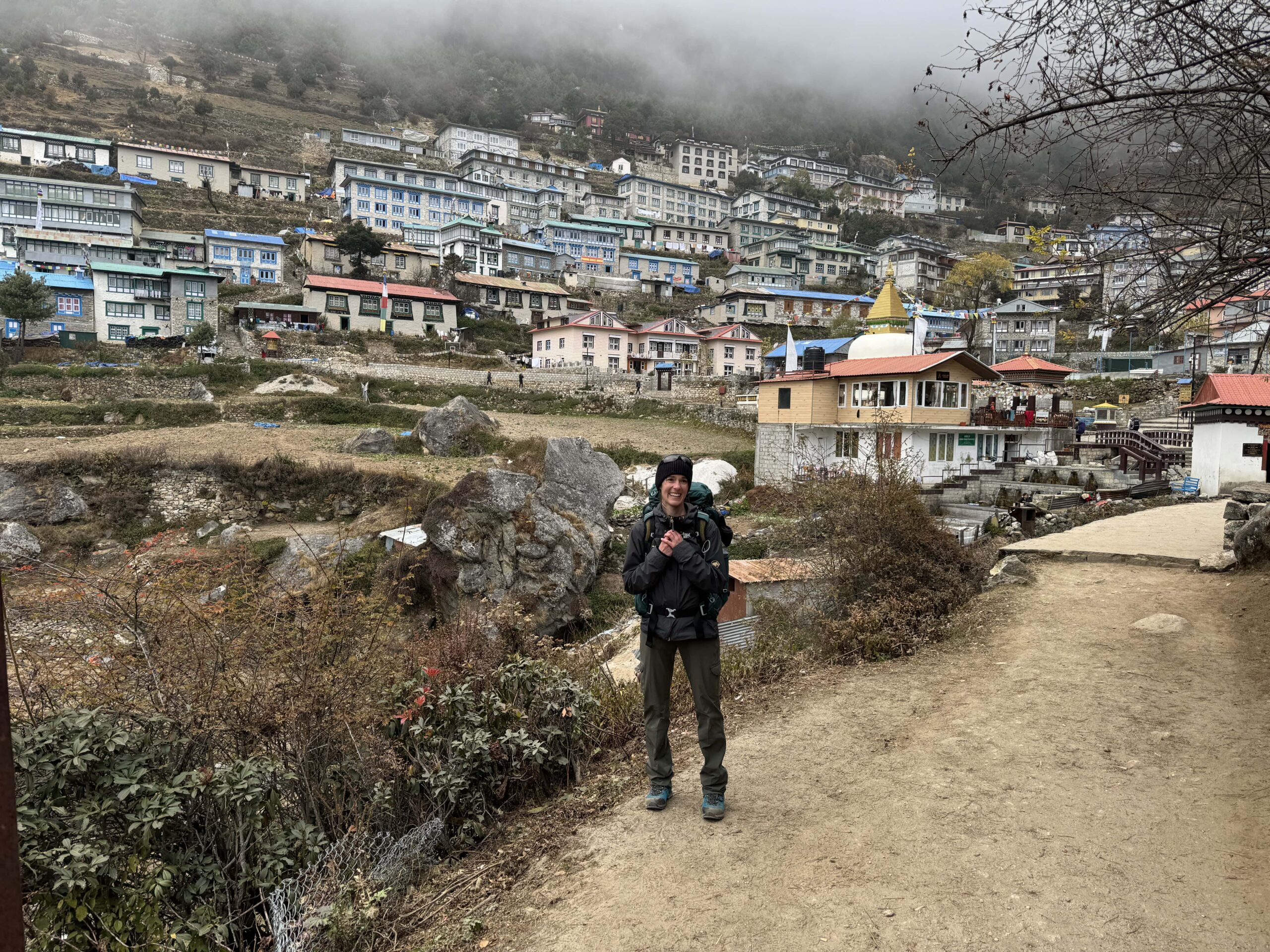
Donned in layers of jackets and merino wool, the researchers spent their days either relocating from one town to another, or journeying into valleys to document landforms. Every day was spent hiking, though, with the group once traveling more than 12 miles over the course of eight hours.
It didn’t take them long to fall into a routine: Their work began around 6:30 a.m. and ended around 4 p.m. As temperatures volleyed between 15 and 60 degrees Fahrenheit, the group spent their evenings warming up in lodges heated only by a fire in the central community area.
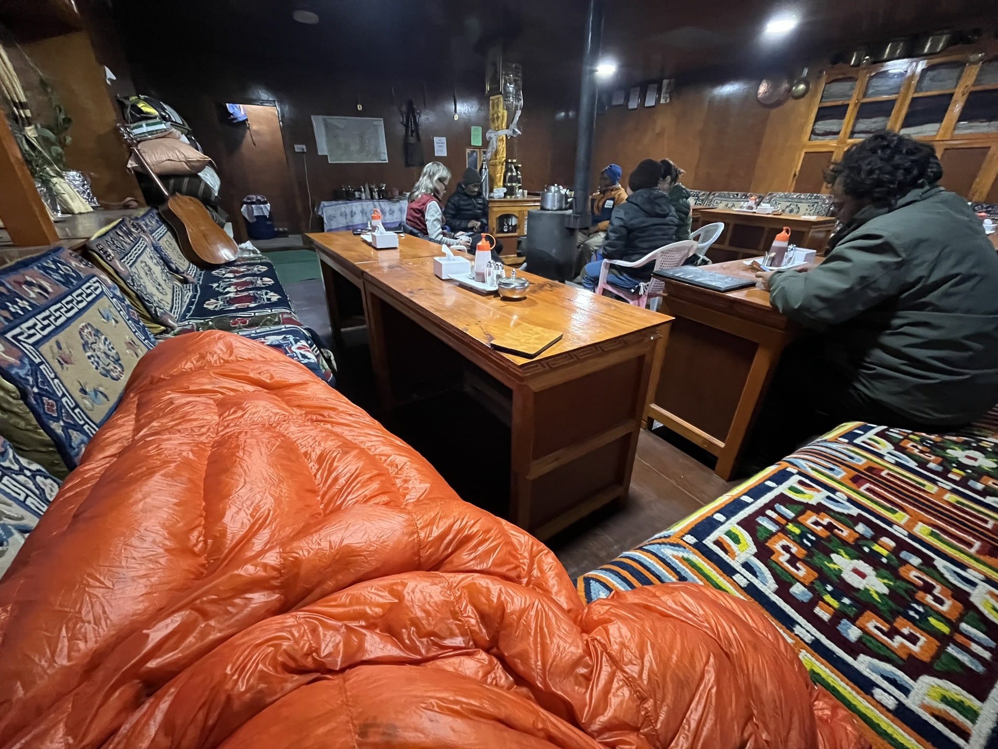
“Since we were walking all day, we were just happy to sit in this warm community area and have good tea,” Manatschal said. “Milk tea in the morning and ginger tea in the afternoon. After several days, we didn’t have to argue about what tea to order anymore.”
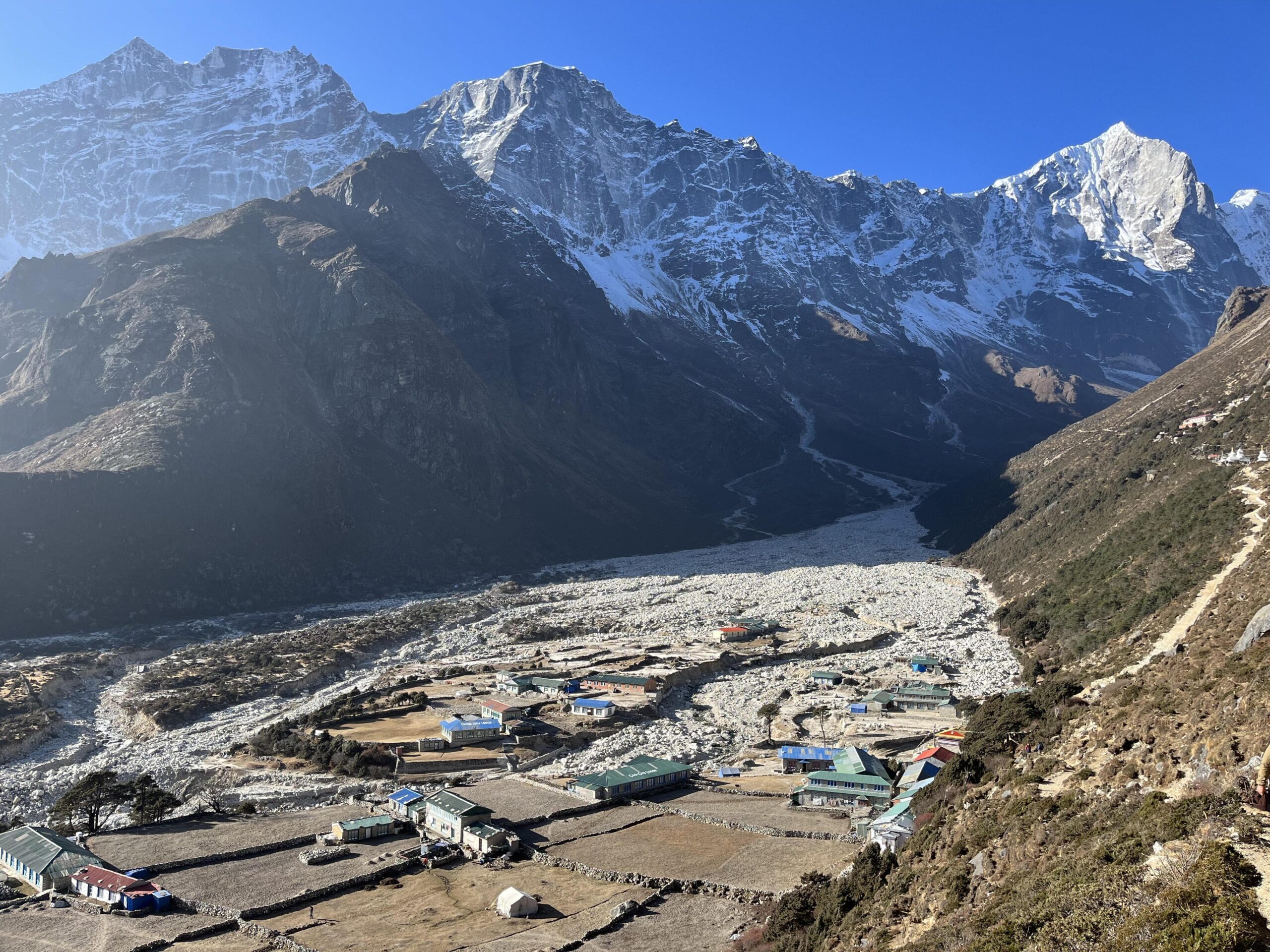
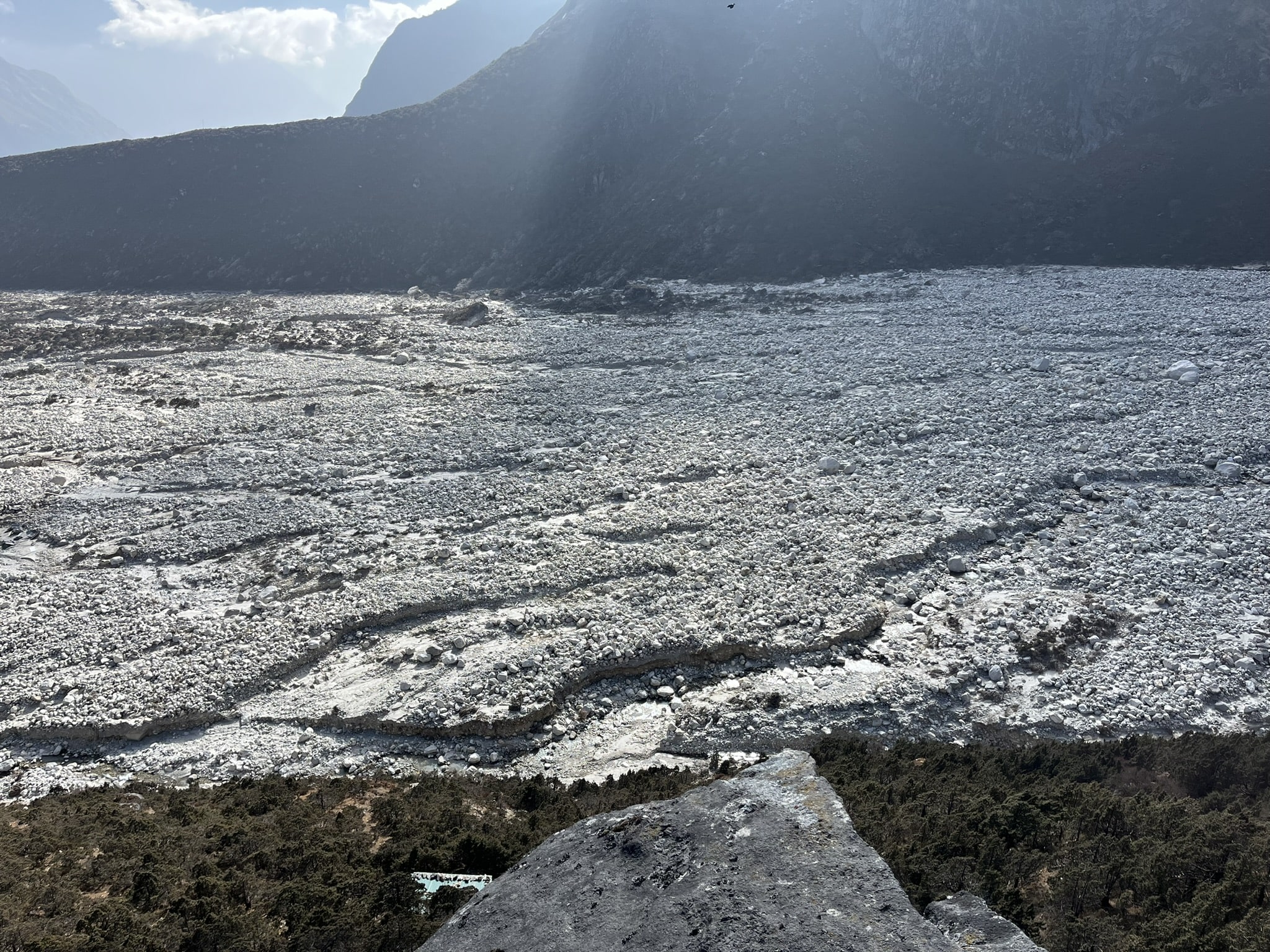
After around 10 days of hiking, the group reached a location of particular interest — the village of Thame. The village had been largely destroyed just a few months prior by a devastating event known as a glacial lake outburst flood, or a GLOF. Such events comprise the main focus of Manatschal’s research.
Glacial lake outburst floods
Thousands of years ago, slow-moving glaciers carved deep valleys into the Himalayan landscape. Glaciers continue to inch through the modern landscape, building up sediment at their bases as they go.
When glaciers melt, or retreat, the depressions that they leave behind fill with water from the melting glacier, resulting in the formation of glacial lakes. Sediments that have piled up around the base of the retreating glacier then act as a dam for the lake.
If too much pressure is exerted onto the dam, either from landslides, rain, or more water from melting glaciers, a GLOF can occur — the dam can fail and send a high-energy stream of water and debris rushing down valleys. That can result in catastrophic flooding to villages downstream from glaciers.
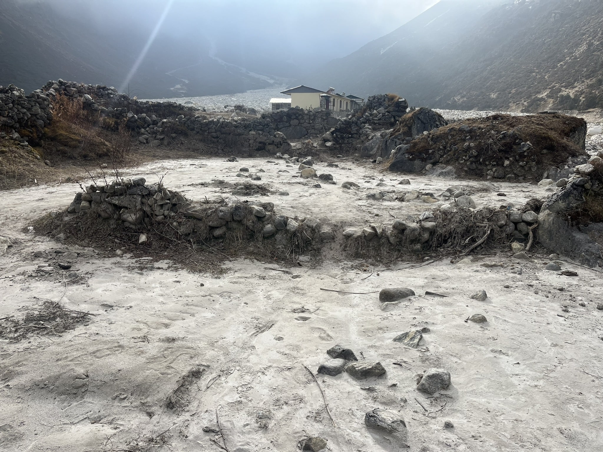
In the case of Thame, “car- and house-sized boulders were being transported and obliterated half of this town,” geologist Karl Wegmann said.
Though nobody was killed in the event, “We documented flood damage 20 kilometers downstream from where it initiated,” Wegmann said. “People were still losing property and fields, and houses were being eroded away.”
Next steps
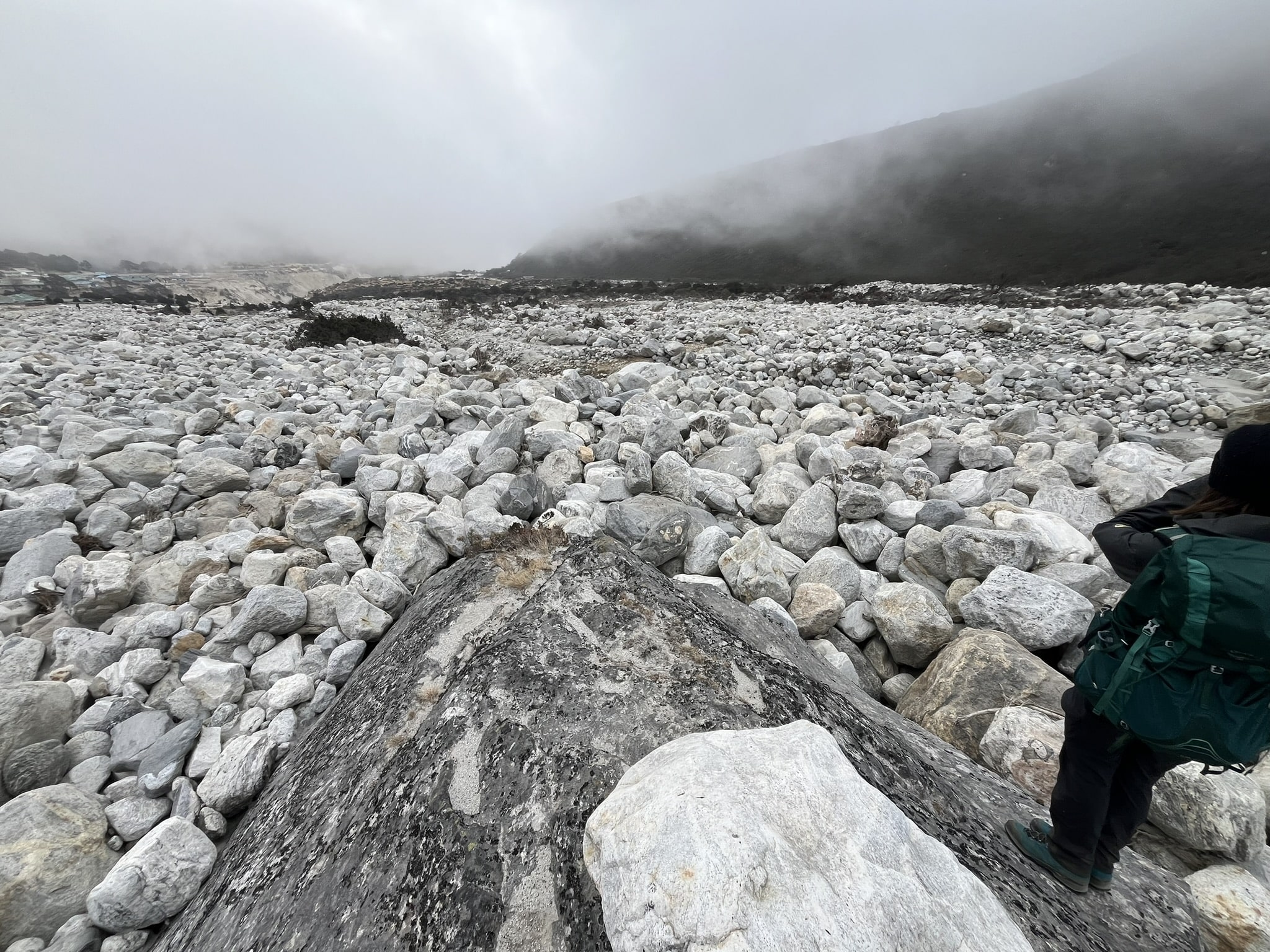
In Thame, Wegmann, Manatschal and the rest of the team took detailed notes on the destructive boulders deposited by the GLOF. Among other parameters, the team measured the size of boulders, the slope of the valley, and the “sorting” of the deposits — how the boulder deposits were packed together in the valley.
The boulders in Thame had what Wegman called an “open framework.” Unlike deposits one might find at a stream bank, the boulders at Thame were loosely packed together, missing fine sands and clays that could fill in the gaps between the larger sediments.
“That’s telling us something about the dynamics of that flow that was transporting that sediment,” Wegmann said. “They can’t be transporting lots of fine grains. Or, the flows are so energetic that the fine grain deposits — the finer sands and clays — continue to just get washed downstream. That’s useful information.”
Particularly, such information on the deposit sorting, plus the slope and size of the valley, will allow Manatschal to back-calculate certain aspects of the flood event, like how much water must have been discharged to transport such large boulders, plus the force and velocity of that water. From there, Manatschal can use those calculations to produce 3D models recreating the GLOF in Thame.
Based on Manatschal’s data from Thame and other locations, she may be able to determine if GLOF deposits across the region have distinct characteristics, like open framework sorting, or a consistency in how high energy floodwaters deposit sediment along a mountain valley. Such characteristics can then make GLOF deposits distinguishable from other types of flood deposits, like ones that occur after heavy rain.
If GLOF deposits are distinguishable, the team can examine and date older deposits in the landscape and determine if they resulted from ancient, previously undocumented GLOFs. From there, the team can piece together how frequently GLOFs have occurred throughout time — effectively filling in gaps in the history of this type of geologic hazard.
“For me,” Manatschal said, “it’s important to describe these GLOF deposits in order to finalize the glacial history. It helps to understand that these events belong to the common glacial cycles in the natural time scale. By studying the deposits of the GLOF, we tried to place another piece of the puzzle that explains the timeline of glacial retreat and glacial advance.”
But, Manatschal’s research won’t only be focused on the past. By identifying the frequency of ancient GLOFs, she can also determine just how much that frequency is changing.
“Glacial lake outburst floods are very highly associated with climate change,” Manatschal said. “They have always happened, but since the temperature is rising, and the glaciers are melting at a higher pace, there’s much more water in the systems.”
That means there may be more villages like Thame.
“Usually, the villages were built downstream of the glaciers,” Manatschal said. “The people, they use the glacier water to live — for their farming, for their agriculture. But now, when they are still living downstream of a potentially dangerous lake, they are always kind of looking out for the lake to burst.”
The looming threat of GLOFs drives the final aspect of Manatschal’s research: hazard mapping.
“If we can recreate what we saw in Thame,” Wegmann said, “we can go to other locations that have lakes with glacial dams that haven’t failed, but we can model their failure. Within this region, there’s probably dozens of these potentially hazardous lakes.”
While these other lakes may not have failed yet, modeling their failure could show just how far down a valley damage from a GLOF could occur, ensuring communities even tens of miles away from a glacial lake better understand their risk.
“That’s the end goal,” Wegmann said. “It’ll take us a little while to get there, but looking at the deposits, making the observations about boulder size and how the grains are packed together, that informs the modeling.”
A bucket-list trip
While Manatschal had plenty to learn from the landscape, she spent her time in Nepal learning from her team of seasoned geologists as well.
“It was very inspiring to just see how they looked at the landscape,” Manatschal said.
Even decades into his geology career, Wegmann said that he was amazed by the scale of the mountains.
“It’s kind of a bucket-list place that you want to see as a geologist — the ‘roof of the world,’ the biggest mountains, the steepest slopes,” Wegmann said. “It kind of fulfilled this early-career dream to see these places that I’ve been reading about for decades. That was amazing. The landscapes didn’t disappoint.”
Wegmann said that he was additionally struck by human interactions with the landscape over thousands of years. High-elevation regions were solar- or hydro- powered instead of dissected by power lines. Buildings were constructed from hand-chiseled rock, and the region’s lack of roads marked the first time in Wegmann’s memory that he spent weeks without a vehicle.
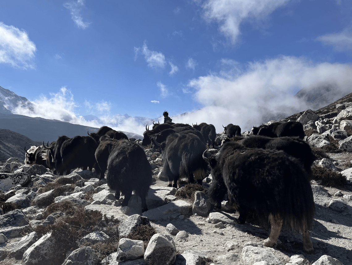
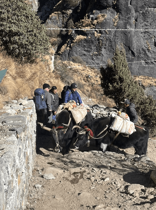
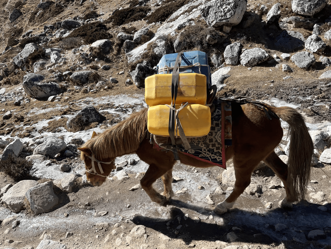
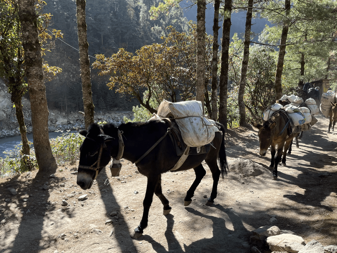
“The folks that live there have developed all these strategies to best live in and utilize this landscape for their needs, and that was pretty spectacular,” Wegmann said. “The amount of people power it takes is sort of mind-boggling. Every bit of food, everything you’re drinking, that’s all being carried there by someone, or a yak or a donkey, and they may have carried it 20 or 30 miles.”
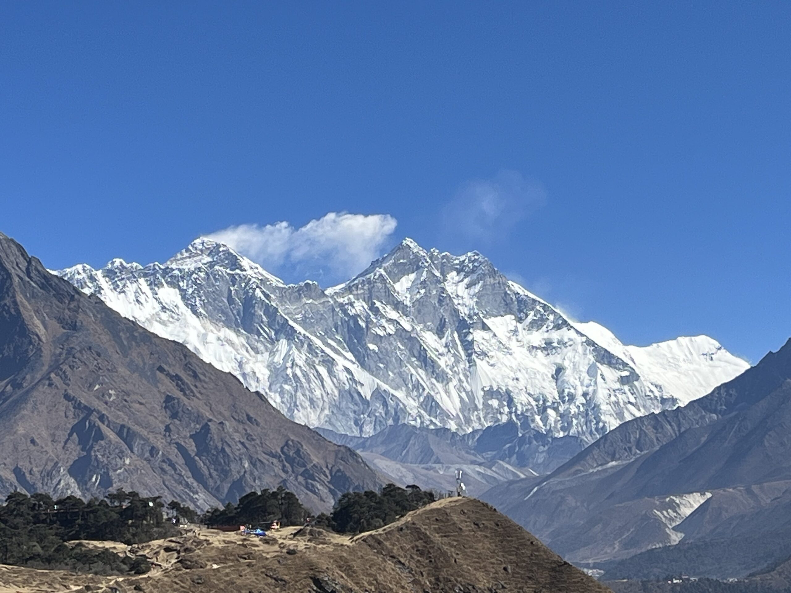
The team only saw the peak of Mount Everest once, but Manatschal described it as an “incredible moment.” Though, the world’s highest mountain seemed to barely stand out when set against the sheer magnificence of the rest of the landscape.
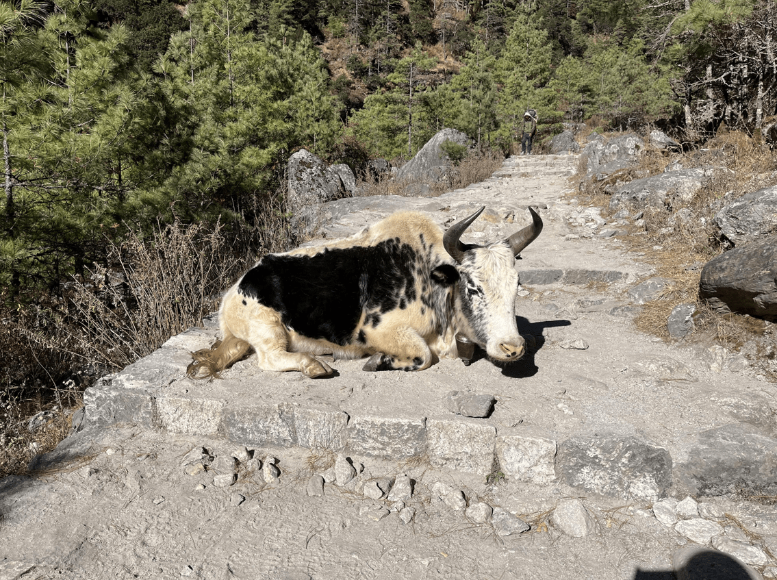
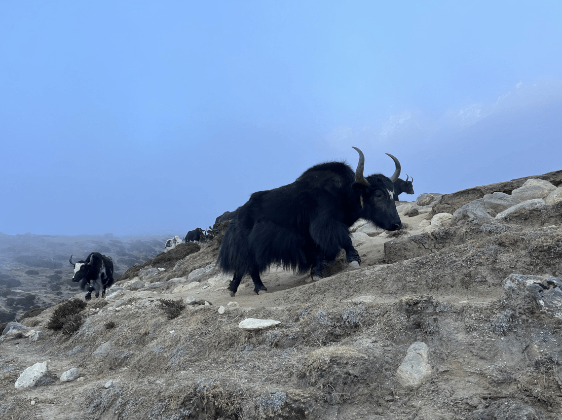
Such views quickly filled the team’s camera rolls, complete with the considerable number of yaks and donkeys they met along the way. When the team finally arrived back home at NC State in December, they returned with data, pictures and a newfound appreciation for the connections one can make across the globe.
The 390,000 steps Manatschal hiked through the mountains and valleys of Nepal marked just the beginning of her research, but there are two things she knows now for certain.
First, she’s grateful to be warm.
“I thought it was just so funny,” Manatschal said. “When we knew we were flying back to Kathmandu, everyone said to each other, ‘I don’t know how you feel, but I was cold all the time.’ Everyone was feeling the same but enjoying it too much to mention the cold.”
Second, whether it be for research or adventure, “I will go back to that area,” Manatschal said. “Sooner or later.”
- Categories: